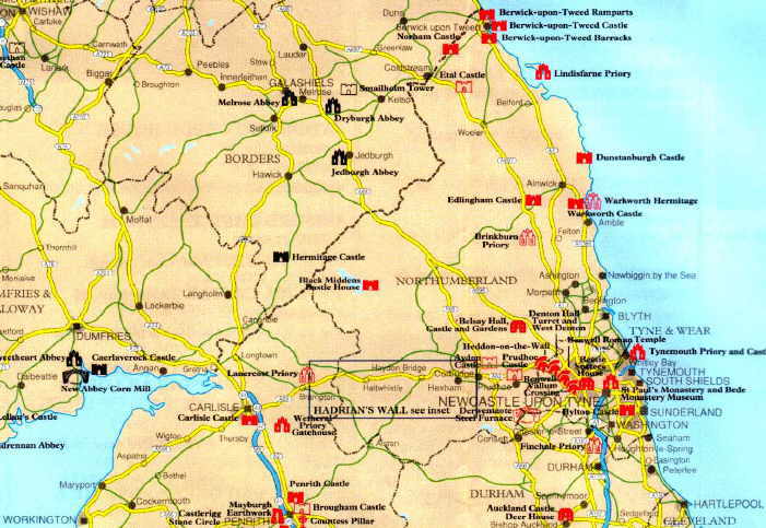
This map shows an area c. 100 miles north-south and 120 miles east-west
of northern England and the Scottish borders. The border is marked by the
heavier dotted line going roughly south west from Berwick-upon-Tweed (at
the top of the east coast) down to Gretna (on the west) . I am creating "hot
spot" links on the map: look for Newcastle,
Hadrian's
Wall and the Lake
District now.